Portfolio
Jurisdictional Compliance Layer · Government / jurisdiction (REDD+)
Native format: JNR · ART-TREES 2.0 · output: Jurisdictional Annual Degradation Report
Places under license
2
active subscriptions
Area under coverage
7.38M ha
Σ area × coverage
Aggregate sub-canopy degradation
0.51 Δ %/yr ↓
improving y-o-y
Registry status
2 PENDING
ART-TREES 2.0
Maturity
Pre-pilot
proof of concept
Your places
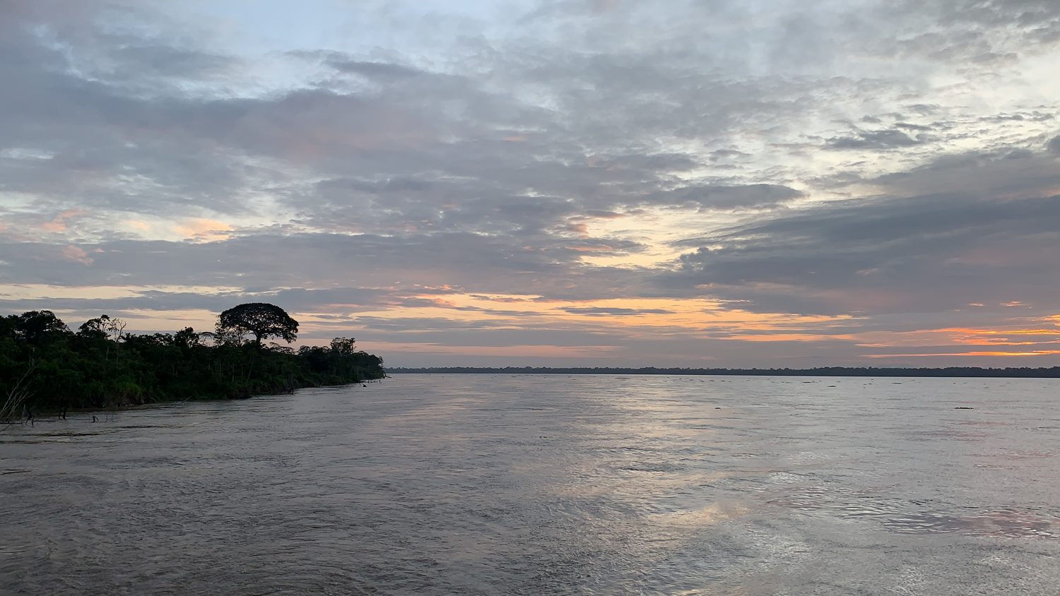
Illegal clearing detected· NE block · stratum terra firme3 days ago
Proof of concept
Jenaro Herrera Concession
Location: Loreto, PeruOpen place →
| Area | 90k ha |
| Ecosystem strata | 3 |
| Coverage | 38% |
| As of | 2026-06-15 · expired 30d |
| Registry | ART-TREES 2.0: PENDING |
| Signature | Ed25519 · TSA |
terra firmevárzea floodplainaguajal palm swamp
Degradation
0.42↓
Δ %/yr · ±31%
Carbon
142↑
tC/ha · ±12%
Biodiversity
78↑
index 0–100 · ±8%
Degradation vs satellite-only ±60% CI — the sub-canopy wedge.
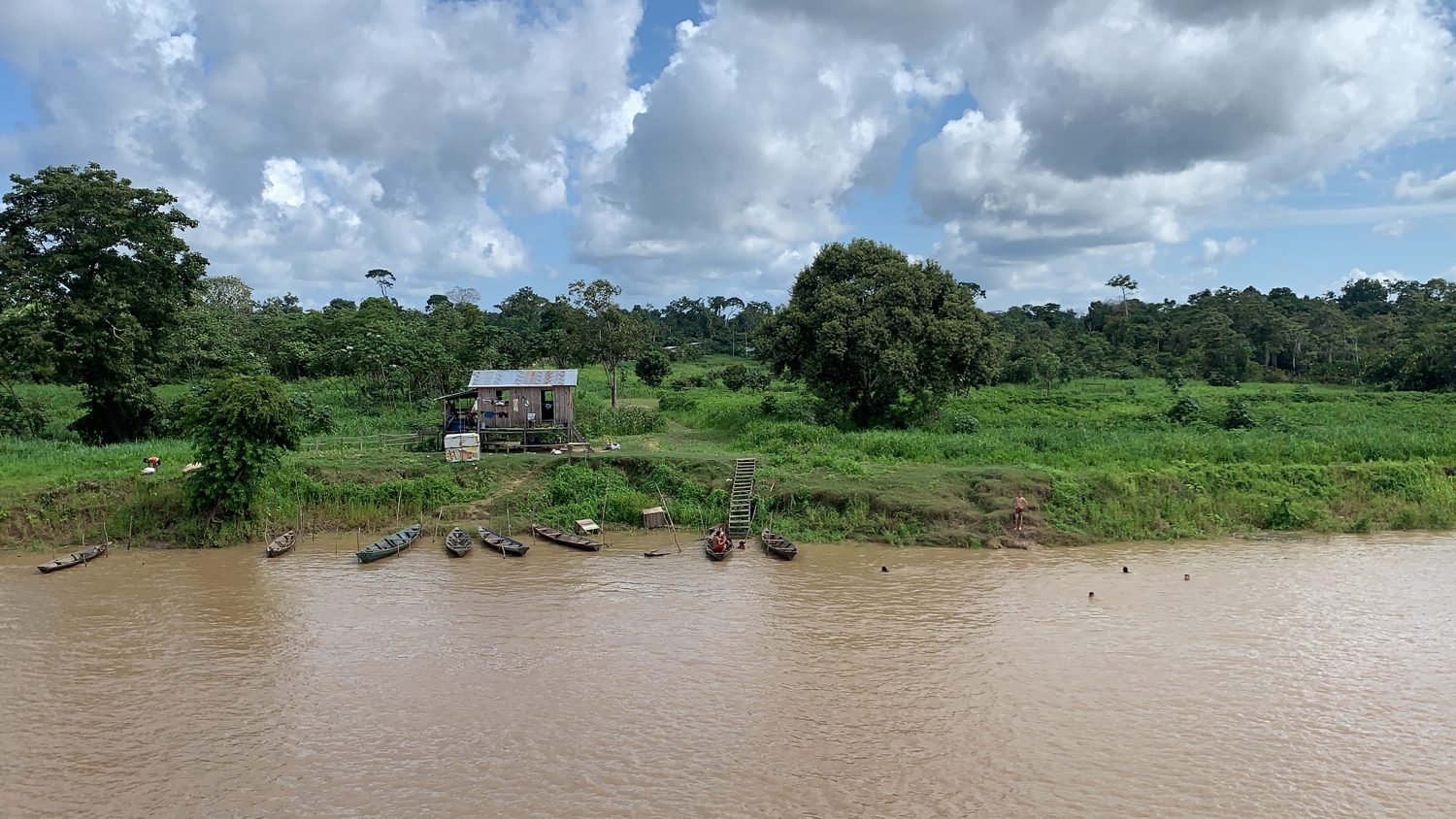
Illegal clearing detected· Sector 2 · várzea edge3 days ago
Proof of concept
Loreto jurisdiction (demo polygon)
Location: Loreto, PeruOpen place →
| Area | 35.00M ha |
| Ecosystem strata | 4 |
| Coverage | 21% |
| As of | 2026-05-30 · expired 46d |
| Registry | ART-TREES 2.0: PENDING |
| Signature | Ed25519 · TSA |
terra firmevárzea floodplainaguajal palm swampwhite-sand varillal
Degradation
0.51↓
Δ %/yr · ±34%
Carbon
128↑
tC/ha · ±15%
Biodiversity
71↑
index 0–100 · ±10%
Degradation vs satellite-only ±61% CI — the sub-canopy wedge.
Alerts and forward-looking signals shown are illustrative — simulation, pre-pilot; no node deployed yet. Claim values are quantified and independently verifiable, not “verified” or “certified.”
Recommended actions
Generate Jurisdictional Annual Degradation Report
JNR · ART-TREES 2.0 · all places
Submit FREL crosswalk to MINAM
Loreto jurisdiction (demo polygon) · NFMS / FREL baseline
Request ART-TREES 2.0 review
CI-methodology acceptance · 2 places
Produce GEDI benchmark
Independent benchmark vs GEDI L4A · pilot-gated
Refresh expired report
Loreto jurisdiction (demo polygon) · valid-to 2026-05-30
Cross-place comparison
| Place | Sub-canopy degradation | CI | vs sat | Carbon | Strata | Coverage | Registry |
|---|---|---|---|---|---|---|---|
| Jenaro Herrera Concession | 0.42 Δ %/yr | ±31% | ±60% | 142 tC/ha | 3 | 38% | ART-TREES 2.0: PENDING |
| Loreto jurisdiction (demo polygon) | 0.51 Δ %/yr | ±34% | ±61% | 128 tC/ha | 4 | 21% | ART-TREES 2.0: PENDING |
«vs sat» = CI of free satellite-only (optical/SAR) vs CeibaQ in-situ+LiDAR — the sub-canopy wedge. Quantified & independently verifiable; pre-pilot design targets.